Thematic overview
Disaster Resilience is the capacity of individuals, communities and organisations to adapt and recover from hazards, stresses and shocks, by learning from past disasters and reducing their exposure and vulnerability to future ones. It is still a major development challenge as 82% of deaths caused by weather, climate and water hazards occurred in developing countries between 1970 and 2019,
according to the World Bank. Earth Observation can contribute to enhancing the resilience of communities by providing crucial data at the prevention, mitigation, preparedness, response, and recovery phases of Disaster Management.
This GDA AID action aims at demonstrating and leveraging the use of Earth Observation at all phases of the Disaster Risk Management Cycle, including Disaster Risk Reduction and Disaster Risk Financing.
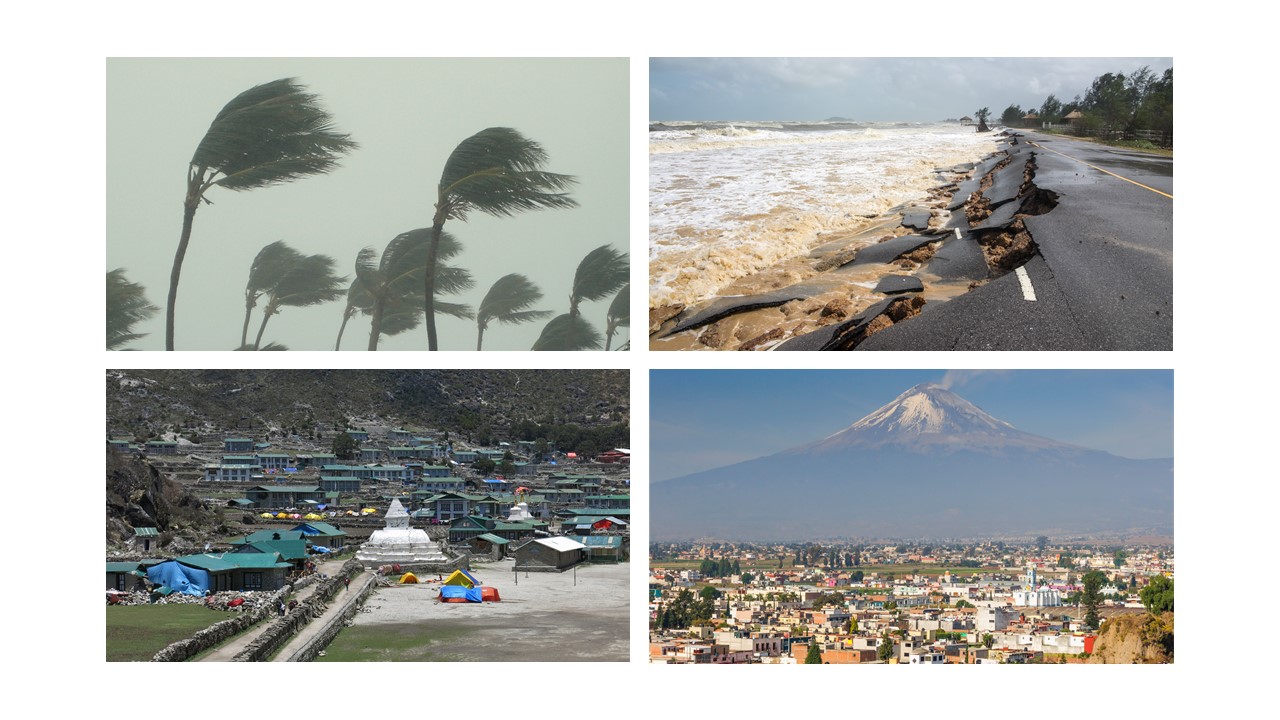
Disaster Resilience Themes
1. Exposure and vulnerability mapping:
- Building-type classification: A categorisation of key building types of interest for the specific use case and targeted study region is performed by jointly exploiting the World Settlement Footprint (WSF) imperviousness, building height and population layers, along with EO satellite data and local information. The resulting product enables to remarkably enhance the urban asset exposure mapping, especially where no comparable datasets are available.
- Land use land cover: Generating bespoke exposure maps of land use and land cover at urban and non-urban landscapes exploiting not only the massive and unprecedented availability of EO satellite data at medium spatial resolution but also cutting-edge image classification algorithms based on deep learning techniques.
- Economic assets: Financial value of exposed assets and socio-economic vulnerability of the territory and its population according to the produced exposure maps such as urban land uses and characteristics like building classification, as well as ancillary information.
2. Natural hazards mapping:
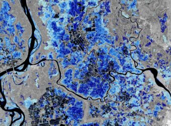
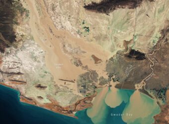
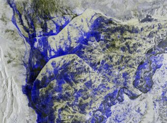
- Floods: Monitoring of fluvial flood events in urban and non-urban contexts using EO data, both optical and radar datasets at medium spatial resolution allow mapping the inundated areas with the independence of the cloud cover and maximising the strengths of both data sources. In addition, these maps, combined with morphological information extracted from EO-derived digital elevation models (DEMs) or hydro-models outputs where available, estimate the flood depth. Besides, it is also monitored coastal flooding processes such as sea-level rise, storm surges, and waves by calibrating available global digital terrain and surface models using complementary data and mapping flow drag coefficient and channelling elements.
- Coastal erosion: Leveraging the long-term records of EO imagery at medium spatial resolution (i.e., 1984-present) not only for monitoring the shorelines but also for more advanced related processes such as mapping wave properties to estimate the wavelength and direction of the waves, finding sediment source points of the coast from where sediment plumes in coastal waters are original from, and also, estimating the volume of suspended sediment.
- Harsh weather: Dzud, a severe meteorological event leading to the large-scale death of livestock due to starvation in central Asia, is analysed in-depth by combining meteorological model outputs and EO data. Such an analysis focuses on the spatial and temporal characteristics of the main meteorological hazard components of dzud, including locations and time points of severe meteorological conditions, with the aim to identify patterns of dzud genesis.
- Landslides and subsidence: Exploiting advanced Synthetic Aperture Radar Interferometry (InSAR) techniques through hosted services on EO platforms such as Rheticus® and the Geohazards Exploitation Platform (GEP) for mapping and monitoring terrain motion related to subsidence phenomena and landslides.
3. Risk assessment: Maps and statistics that describe and quantify the impact of floods, subsidence, and landslides hazards, respectively, on people and assets combining the produced maps of exposure and vulnerability with those describing hazards.
Discover our
e-flyer and
brochure for more information:
Supported IFI initiatives
Consortium Members


