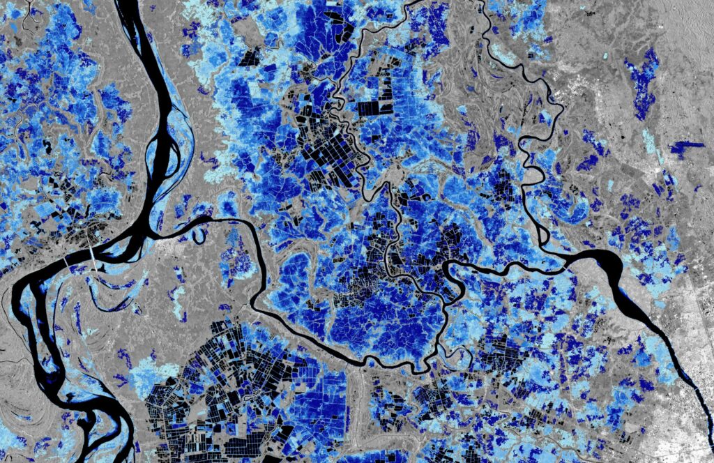
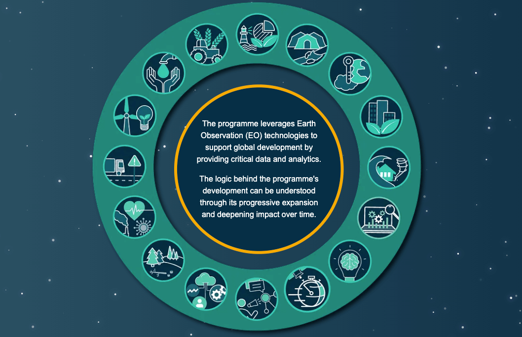
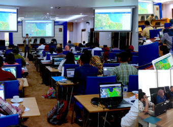
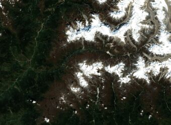
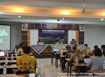
ESA’s Global Development Assistance Programme, brought to life by ESA Member States at Space19+, has officially kicked off its first action focused on agile Earth observation information development in the thematic sector of ‘Disaster Resilience’. This marks the first milestone in a programme that aims to foster impact through the systematic integration of Earth observation data in development projects. For this occasion, ESA published on its website a story showcasing examples of Earth Observation applications for Disaster Resilience, that you can access here.
The technical development for the Disaster Resilience thematic area are going to be done by a consortium led by INDRA (Spain) and with the participation of CIMA (Italy), Gisat (Czech Republic), Argans (UK), Planetek (Italy), LIST (Luxembourg), DLR (Germany), Terradue (Italy) and ZAMG (Austria) in order to meet Institutional Partner’s needs. This consortium has for example capabilities in assessing exposure, conducting risk assessments, and has specific expertise on great numbers of hazards.
The major themes which will be addressed by the consortium were identified according to our Institutional Partner’s priorities and include:
- post-disaster flood extent detection,
- flood hazard mapping,
- landslides,
- subsidence,
- seismic hazards,
- volcanoes harsh weather impact on pastureland and livestock,
- urbanization and risk monitoring (for several hazard types),
- exposure mapping,
- informal settlement mapping,
- coastal erosion and sedimentation monitoring.
