Thematic overview
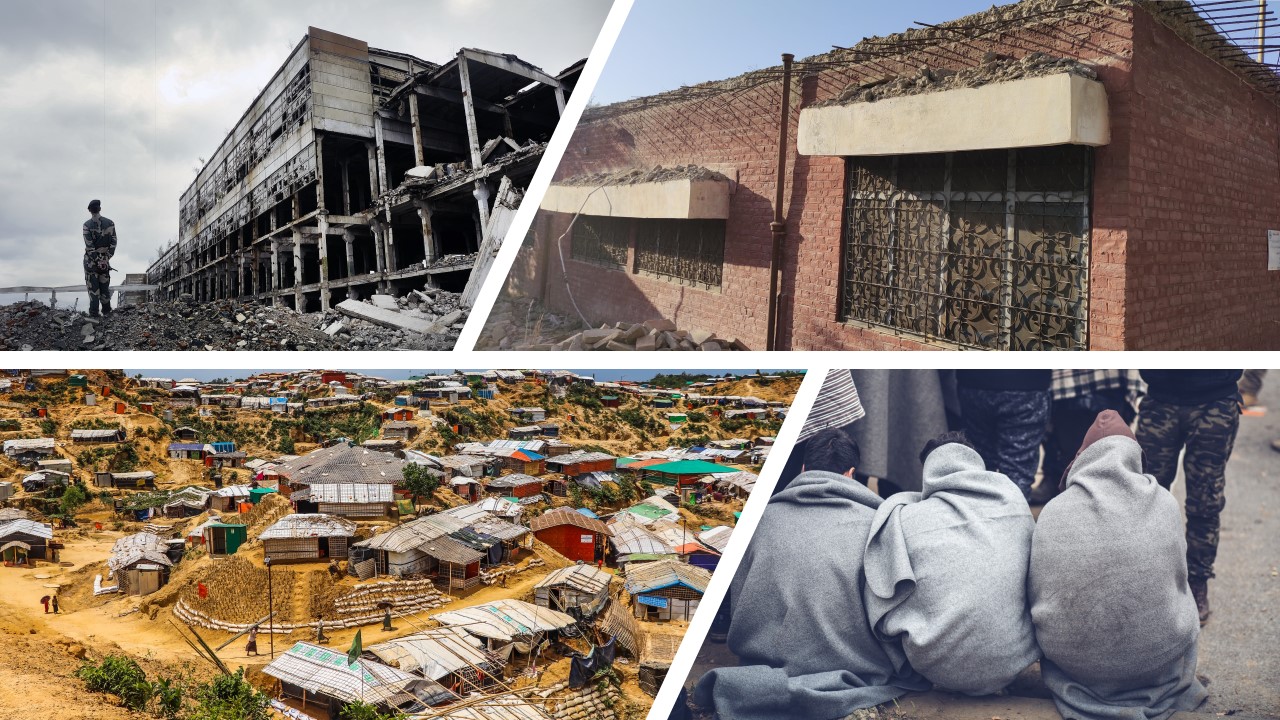
Fragility, conflict, and violence (FCV) is a critical development challenge that threatens efforts to end extreme poverty, affecting both low- and middle-income countries. Conflicts drive 80% of all humanitarian needs and, by 2030, up to two third of the world’s extreme poor could live in FCV settings. Preventing and mitigating FCV challenges is key to making progress towards the Sustainable Development Goals (SDGs) and to the international community’s broader efforts to promote peace and prosperity.
Violent conflict has spiked dramatically since 2010, and the fragility landscape is becoming more complex with the effects of global trends such as climate change, rising inequality, demographic change, poor governance and illicit financial flows, which are often interconnected and transcending borders. The world is also currently facing the largest forced displacement crisis ever recorded, and the COVID-19 pandemic adds even greater stress, threatening to reverse decades of advancements in poverty reduction and development. Indeed, the World Bank (WB) estimates show that an additional 23 million people were pushed into poverty in 2020 in countries affected by FCV.
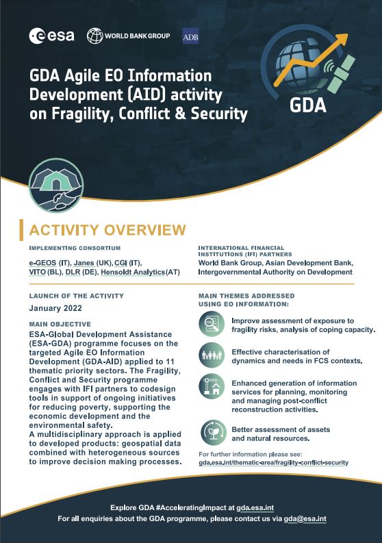
Through the Fragility, Conflict and Security activity, the GDA programme engages with IFI partners to co-design tools providing timely and precise information in support of ongoing initiatives aiming at reducing poverty, helping economic development and promoting environmental safety in States affected by FCV. As part of this GDA AID activity, products and services are developed following a multidisciplinary approach, combining geospatial data and data from heterogeneous sources, to feed customised analyses and reports that improve decision making processes.
Animation: EO for FCS
How can satellite data support development in fragile settings? This short animation shows how ESA’s GDA Fragility, Conflict and Security activity delivers EO-based insights to help partners monitor risks, displacement, and environmental stressors in complex contexts.
In fragile and conflict-affected areas, data scarcity challenges effective planning. ESA’s Global Development Assistance (GDA) Fragility, Conflict and Security (FCS) activity provides Earth Observation insights that support monitoring of displacement, infrastructure risks, and environmental stressors.
This animation highlights how development actors and IFIs can integrate EO-based information into their own analysis and operations.
Fragility, Conflict & Security Themes
The Use Cases have been designed considering four major priorities identified together with the IFIs:
- Improved assessment of fragility risk exposure and analysis of coping capacity,
- Effective characterisation of dynamics and needs in FCV contexts,
- Enhanced generation of information services for planning, monitoring and management of post-conflict reconstruction activities
- Better assessment of natural resources and assets
In line with the above themes, the project will develop EO based geo-information in the following 8 operational scenarios:
- Planning and monitoring of development interventions in areas with limited access
Leveraging EO for the ongoing remote supervision of development projects in remote, fragile and conflict-affected areas on a global basis. Showcasing what kinds of development projects and under which conditions can reliably be supervised via EO. Effective connection of ground-level and EO data to effectively close crucial information gaps and feed into project-level decision making processes. Supporting the assessment of socio-economic status of localities in view of development interventions to reduce isolation and improve conditions of remote communities.
- Development of FCV analytics
Exploiting EO data to support better understanding of instability factors, onset of crisis, socioeconomic trends related to FCV dynamics to feed into decision-making processes on programmatic and project level. These can include (a) tracking forced displacement dynamics over time; (b) monitoring the development of refugee camps; (c) damage and needs assessments in conflict zones; (d) early warning on large-scale conflict events; (d) analysis of compound risks.
- Early warning decision support in fragile states at pre-operational level
Developing and delivering critical information services and strengthening crisis preparedness for community resilience. Identification of risk-informed plans for community public works and information that assist the leveraging of layered financing. Provision of geo-intelligence for food security operations, specifically targeting response applications, by supporting provision of timely risk information and indicators, based on EO combined with other data sets on drought, political violence, displacement, migration, to allow effective integration of conflict information into the modelling of famine forecast.
- Assess environmental effects of conflicts and availability of resources in view of contingency planning and support to reconstruction
Monitoring land and water pollution, and assess ecosystem status, including habitats acting as reservoirs or propagation vectors for infectious disease or insect plagues.
- Monitoring of illegal or not sustainable resources exploitation and trafficking
Including illegal extraction of timber, minerals, fish, forestry crimes, wildlife poaching, illegal extraction of oil, and associated trafficking activities, practices connected to depletion of resources.
- Analysis of dependence on limited critical infrastructures and ecosystem services, and risk of exposure to emerging threats
- Access information to support planning, monitoring and management of post-conflict reconstruction activities
Supporting accurate delineation of infrastructure damage and linked reconstruction priorities and support implementation of independent information systems to guarantee all citizens in a country of their property rights. Supporting monitoring existing conflicts or crisis using a multi-source approach spanning social media crawling, political and contextual publicly available information, mobile derived analytics, open source intelligence to EO processing.
- Monitoring of the evolution of structures and urban extent
Better understanding migration flows as well as economic development and increasing knowledge about current status and evolution since the beginning of a crisis in fragile context. Supporting economic impact assessment of a crisis.
In terms of organisation, the project team has identified three major sets of EO based information and related main thematic sector experts (in charge of the Use Case management), and EO product manager (in charge to the product development):