Thematic overview
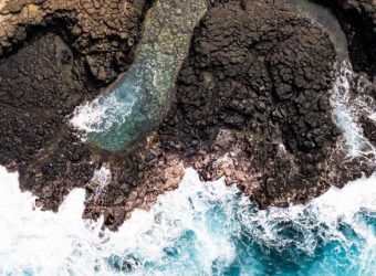
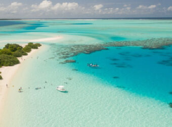
Marine Environment & Blue Economy are essential for the well-being of populations, since they provide food security and climate resilience for billions of people worldwide, support biodiversity, and foster sustainable socio-economic growth. Therefore, the Action Plans of International Financial Institutions, on one hand, focus on ensuring the economic growth of developing countries, through the promotion of inclusive livelihood opportunities and the sustainable development of key oceanic sectors such as tourism, maritime transport and renewable energy. On the other hand, they are interested in preserving the health of coastal and marine ecosystems, through the management of marine litter and pollution, and the improvement of sustainable fisheries governance.
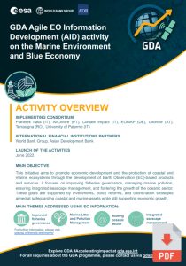
The GDA AID Marine Environment & Blue Economy activity aims to deliver value-adding products and services to assist the IFIs teams involved in the framework of their current operation and their strategic goals over the coming years on the marine environment and Blue Economy.
Supported IFI initiatives
1.
Unleashing the Blue Economy of the Caribbean (UBEC) “WB”
Activity: Conducting an Ecosystem Assessment to Bolster the Blue Economy in the Caribbean
Use Cases:
- Ecosystem extent and status, ecosystem protection and management services (TR-A1)
- Water quality assessment and monitoring (TR-A2)
- Map shoreline and riverbank erosion, sediment load and transport (TR-A6)
2.
Harnessing the Potential of Forests and Biodiversity for Sustainable Development in Ecuador “WB”
Activity: Earth Observation-Derived Solutions for Fostering Sustainable Development in Ecuador
Use Cases:
- Ecosystem extent and status, ecosystem protection and management services (TR-A1)
- Water pollution assessment and monitoring (TR-A3)
3.
Kenya Marine Fisheries Socio-Economic Development (KEMFSED) “WB”
Activity: Assistance for Advancing Socio-Economic Development in Marine Fisheries Project in Kenya
Use Cases:
- Develop detection and assessment capabilities for fishery resources (TR-A5)
- Map shoreline and riverbank erosion, sediment load and transport (TR-A6)
- Provide a strategic and integrated Marine Spatial Planning roadmap (TR-A8)
4.
West Africa Coastal Areas Resilience Investment Project “WB”
Activity: Earth Observation-Derived Products for Enhancing Marine Spatial Planning in São Tomé e Príncipe
Activity: Assistance in Modelling Plastic Drift and Accumulation in the Gulf of Guinea
Activity: Earth Observation-Based Solutions for Mapping Mangrove Conditions, Assessing Restoration Potential, and Estimating Carbon Stocks in Guinea-Bissau
Use Cases:
- Map shoreline and riverbank erosion, sediment load and transport (TR-A6)
- Water pollution assessment and monitoring (TR-A3)
- Ecosystem extent and status, ecosystem protection and management services (TR-A1)
5.
Liberia Sustainable Management of Fisheries Project “WB”
Activity: Earth Observation-Driven Solutions for World Bank Initiatives in Liberia
Use Cases:
- Water pollution assessment and monitoring (TR-A3)
- Develop detection and assessment capabilities for fishery resources (TR-A5)
- Assessment of marine environmental impacts from port infrastructure and operations (TR-A7)
6.
MV: Digital Maldives for Adaptation, Decentralization and Diversification “WB”
Activity: Utilising Digital Technologies, Data, and Analytics for Climate Resilience in the Maldives
Use Cases:
- Ecosystem extent and status, ecosystem protection and management services (TR-A1)
- Map shoreline and riverbank erosion, sediment load and transport (TR-A6)
7.
PROBLUE: Cleaner Marine and Coastal Ecosystems in North Africa “WB”
Activity: Conducting an Ecosystem Assessment to Facilitate Blue Carbon Evaluation in Tunisia
Use Cases:
- Ecosystem extent and status, ecosystem protection and management services (TR-A1)
- Water quality assessment and monitoring (TR-A2)
8.
Oceans for Prosperity Project – LAUTRA “WB”
Activity: Supporting Carbon Assessment for Marine Protected Areas in Indonesia
Use Cases:
- Ecosystem extent and status, ecosystem protection and management services (TR-A1)
9.
Cambodia: Sustainable Coastal and Marine Fisheries Project “ADB”
Activity:Mapping Seagrass with Earth Observation: A Vulnerability Index for Mangrove Restoration Support
Use Cases:
- Ecosystem extent and status, ecosystem protection and management services (TR-A1)
10.
Regional: Empowering Developing Member Countries to Use Multispectral Satellite Images and Artificial Intelligence for Land Use and Coastal Planning “ADB”
Activity: Advancements in Earth Observation for Enhanced Water Quality Management in Aquaculture Sites
Use Cases:
- Ecosystem extent and status, ecosystem protection and management services (TR-A1)
- Water quality assessment and monitoring (TR-A2)
Discover our
e-flyer and
brochure for more information:
Consortium members