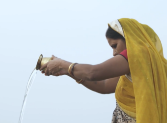
Water resources are under increasing pressure from climate change, pollution and competing demands. Yet in many development contexts, decisions on water management, disaster risk reduction and water quality still rely on sparse or unreliable information. This creates a clear need for more consistent and scalable evidence to support investment planning and implementation.
The ESA Global Development Assistance (GDA) AID Water Resources activity responded to this need by working with International Financial Institutions (IFIs) and Official Development Assistance (ODA) actors to integrate Earth Observation (EO) into water-related operations. Led by EOMAP, the activity provided tailored EO services that helped partners address key information gaps and strengthened the evidence base for water-related decision-making in data-scarce environments.
Achievements
The activity moved beyond pilot studies and laid a pre-operational foundation for the wider uptake of EO services across water-related development sectors. It engaged with 27 projects and successfully supported 18, delivering insights for partners including the World Bank, Asian Development Bank and African Development Bank. The activity also broadened its reach to additional institutions such as the International Fund for Agricultural Development and the Inter-American Development Bank, showing the relevance of EO-based water information across an expanding range of development finance actors.
Summary of Case Studies
The table below provides an overview of the case studies delivered across the activity’s portfolio.
| Country / Region | IFI Partner | Key Focus |
| Botswana | World Bank | Groundwater Earth Observation to Combat Water Scarcity |
| Lake Victoria | World Bank | Water quality management |
| Pakistan (Balochistan) | World Bank | Integrated Water Resources Management |
| Georgia | World Bank | Supporting the set-up of a Hydro-Agro Informatic Centre (HAIC) |
| Timor Leste | ADB | Water presence variability and drought impact on agriculture |
| Zambezi River | AfDB / CIF | Enhance water quality and discharge monitoring |
| Cameroon & Peru | World Bank | Sedimentation and discharge monitoring for reservoir lifetime |
| Mexico | World Bank | Drought analyses and sustainable water management in Río Fuerte |
| Uzbekistan | ADB | Digital monitoring package for sanitation project |
| Somalia | IFAD | Enhancing Groundwater Management through Earth Observation |
| West Africa / Sahel | IFAD | Harnessing Earth Observation for Groundwater Monitoring |
| Sri Lanka | IFAD | Surface Water Dynamics of water Tanks |
| Panama | IDB | Tracking Water Quality from Space |
| Paraguay | IDB | Water quality monitoring of Lago Ypacarai |
| Uruguay / Argentina | IDB | Algae bloom analysis and turbidity in Salto Grande |
| Yemen | IFAD | Geospatial support for integrated watershed planning and restoration |
| Yemen | World Bank | Earth Observation Assessment of Dam Deformations of Marib Dam |
| Bolivia | IDB | InSAR mapping of the Misicuni dam stability |
From service delivery to operational uptake
The GDA Water Resources activity showed that the value of Earth Observation (EO) lies not only in generating new data, but in helping partners integrate that information into planning, monitoring and investment processes. Across the portfolio, the activity combined technical expertise with close collaboration with IFIs, regional institutions and local stakeholders to ensure that services responded to operational needs and could be taken up in practice.
Feedback from partners highlighted both the technical quality of the services and the importance of co-creation. As one World Bank representative noted, the “technical capacity of the team was outstanding.” A key lesson from the activity was that uptake depends on more than analytical performance alone: products need to be aligned with institutional workflows, local priorities and decision-making contexts.
Selected examples of uptake and impact
A number of cases illustrate how EO services developed under the activity moved beyond demonstration and supported operational use.
In Timor-Leste, dynamic surface water extent maps helped provide evidence for the continuation of agricultural grants that were at risk following the national elections in early 2024. The information supported decision-makers in maintaining investments that were important for agricultural development.
In South Africa, the World Bank built on initial GDA work by investing in the replication of groundwater monitoring methodologies for its 2025 Water Security Diagnostics report. This is a clear example of an EO approach developed through GDA being taken forward independently by an IFI.
In Syria and Libya, the World Bank also extended the use of EO-based approaches for dam safety monitoring across additional sites, showing how initial alignments under GDA can lead to broader operational application.
In Somalia, support to IFAD evolved from standalone analysis towards a more institutionalised groundwater monitoring framework. Groundwater and drought datasets developed under GDA are now being anchored in the FAO SWALIM Geoportal, helping align them with existing national datasets and supporting ongoing hydro-climatic monitoring.
In West Africa, groundwater availability products developed in support of IFAD operations were integrated with agropastoral data from the Réseau Billital Maroobé. RBM continues to use this information in its regular bulletins, supporting decision-making for agropastoral communities across the region.
In the Lake Victoria Basin, the activity went beyond static reporting by enabling more sustained access to water quality information. An interactive browser-based viewer was deployed on the servers of the Lake Victoria Basin Commission and is being assessed for integration into the Lake Victoria Basin Water Information System. This gives local stakeholders a more practical way to carry out time-series and hotspot analysis without requiring specialised GIS software.
In Sri Lanka, a nine-year archive of satellite imagery was used to map the surface water dynamics of more than 10,000 historic small-scale reservoirs in support of IFAD’s Smallholder Agribusiness and Resilience Project. The resulting information is being used to assess restoration investments, update national databases and support hydrological modelling. This shows how EO can help monitor decentralised water infrastructure at scale and provide a replicable basis for long-term resource management.
These examples show how EO services were co-developed to match the operational environments of different IFIs and regional actors. In the strongest cases, the activity moved beyond one-off analysis and contributed to institutional workflows, follow-on investment and longer-term monitoring capacity.
Priorities for future support
The GDA Water Resources activity made important progress in operationalising EO products within IFI workflows. To strengthen this further, future support should focus on three areas.
First, the food-water-energy nexus will require more integrated approaches that reflect the links between water management, agriculture and energy systems. This calls for multidisciplinary teams and more connected service design.
Second, continued advocacy and visibility will be important to demonstrate where EO is already supporting development operations and where further uptake can be encouraged. High-level forums, including the UN Water Conference in December 2026, can help position these results in a broader policy and investment context.
Third, next-generation satellite missions such as LSTM and CHIME are expected to expand what is possible for water-related applications, particularly where higher spatial or thematic resolution is needed for smaller-scale use cases such as irrigation monitoring.
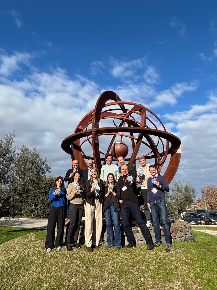
The team behind the activity
The GDA AID Water Resources activity was delivered by a consortium bringing together expertise from Brockmann Consult, EOMAP, GeoVille, Gisat, GMV, Gruner and UFZ. Its progress also depended on active engagement from partner institutions including the World Bank, Asian Development Bank, African Development Bank, International Fund for Agricultural Development and Inter-American Development Bank, as well as regional organisations such as ZAMCOM, LVBC and RBM.
An important enabling factor was the role of the ESA GDA programme team and ESA secondees embedded in IFIs, who helped connect technical capabilities with institutional needs and supported the translation of satellite-based information into operational development use.
Overall, the activity demonstrated how targeted EO services can help strengthen the evidence base for water-related development decisions and create conditions for longer-term uptake within partner institutions.