2023 marks a significant milestone and is the opportunity to celebrate the 15th year anniversary of the fruitful collaboration between the World Bank and the European Space Agency (ESA). Over the years, this partnership has proven to be a remarkable example of the transformative power of merging earth observation technologies with global development efforts. Together, the World Bank and ESA have pioneered groundbreaking initiatives that harness satellite data and earth observation to tackle pressing sustainable development challenges such as climate change, disaster management, agriculture, and urban planning. Building on the strong trust between both institutions, this collaboration has been consistently strengthening over time and moved from targeted demonstrations to a more strategic programmatic approach based on the implementation of coordinated complementary activities. As we commemorate this remarkable journey, both institutions are committed to keep advancing together and innovate in order to shape a brighter future for all.
Reposted from World Bank Intranet (Initially published on 27 June 2023)
| Highlights – The World Bank and the European Space Agency have been collaborating for more than 15 years – More than 45 World Bank projects currently receive support through the ESA Global Development Assistance program – A new MOOC was launched to better inform World Bank staff and external audiences on the potential of satellite technologies |
When working on many topics related to sustainable development such as climate resilience, urban development or disaster management, a look from outer space can make a big and impactful difference. That is why the World Bank and the European Space Agency (ESA) have been collaborating for more than 15 years with the objective of increasing the efficiency and impact of development finance through the adoption and mainstreaming of Earth observation (EO) technologies.
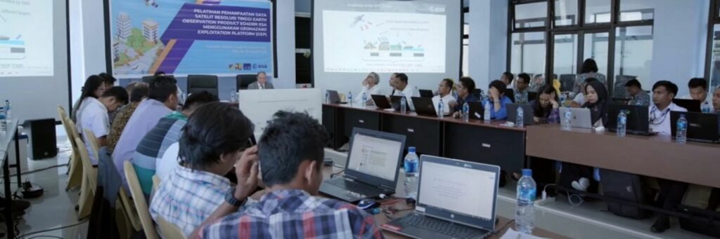
© screenshot from Imperative Space’s MOOC ‘Benefits of Earth Observation for International Development Assistance’
Different ESA programmes have been mobilised throughout the years to support World Bank projects in the integration of those technologies. The ESA Global Development Assistance programme (GDA) is the central component in the latest phase of this collaboration and represents a step up in ambition and scope by providing fit-for-purpose earth observation products and services to World Bank projects in a wide range of sectors including climate resilience, disaster resilience, urban resilience, fragility, water resources, marine, clean energy and agriculture. More than 45 World Bank projects currently receive support through the GDA programme.
In order to ensure the sustainable long-term adoption of those technologies, the World Bank is complementing this support with capacity building and skills transfer activities. This coordinated and complementary approach makes the strength of the ESA-World Bank partnership.

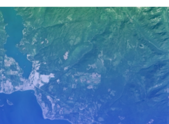
© contains modified Copernicus Sentinel data (2019), processed by ESA
To highlight this collaboration and better inform stakeholders and external audiences on the potential of those technologies for the operations of International Financial Institutions, ESA commissioned Imperative Space to create a MOOC (Massive Open Online Course) on the ‘Benefits of Earth Observation for International Development Assistance’. This course features insights and contributions from leading voices within the World Bank and details case studies of work that is being undertaken globally. The resultant free course includes numerous, easily shareable insights, resources and examples, and has already been reaching new audiences around the world.
Below we highlight three case studies examined in the MOOC as examples of how ESA and World Bank are working together.
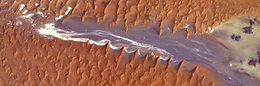
© contains modified Copernicus Sentinel data (2019), processed by ESA
Climate Resilience
Over the years, the World Bank has been engaged with the São Tomé on potential climate change adaption investments in order to address sea level rise and the risk to the local population. The discussions have been rather sensitive considering the reluctance of local populations when it comes to potential relocation plans. Using different sets of data, topographical maps, Landsat imagery, climate models and projections, the World Bank, with the support of ESA, was able to analyse and communicate on the risk to those living in the area, demonstrating through the use of EO data that the sea line had moved around 60 meters over the last 100 years. These EO-based analysis were instrumental in getting the approval of local populations to
start resettling those affected whilst remaining sensitive to the community.

© contains modified Copernicus Sentinel data (2019), processed by ESA
Urban Development
Many larger and smaller cities across Latin America have been having difficulties to cope with accelerated urban expansion and urban sprawl. For countries of the region to deal with the related challenges, there has been a need to gather data on the nature and rate of urban expansion in order to inform local policies and investments. Through the use of EO technologies and artificial intelligence, made possible through the ESA-World Bank partnership, the World Bank was able produce information at scale on the patterns of urban expansion in the region, the trends in the past years, and potential scenarios for the next decades. Early predictions have allowed government at national and local level to make the right investment and policy decisions in order to better prepare with a continued expansion of urban areas.

© iStock
Disaster Resilience
EO has also been used in many different projects to aid in informing disaster risk resilience investments, with EO playing a decisive role in better understanding the past and future impacts of increasing hazards, stresses and shocks. EO products and services have been fundamental inputs in the analysis of exposure and vulnerability to different types of disaster risk such as floods, landslides or cyclones. When combined with digital elevation modelling and other sources of geospatial data, these analytics can then help in the creation of land suitability models. For example, the World Bank has been working closely with stakeholders in Rio de Janeiro to identify the most suitable areas to build and also to assess the areas most at risk, thereby influencing future policies.
The ‘Space for International Development Assistance MOOC‘ is entirely free and continuously available for you to take at any time and follow at your own pace (link to MOOC website).

![[VIDEO] Webinar: Using EO for M&E](https://gda.esa.int/wp-content/uploads/2023/11/Webinar-Using-EO-for-M-and-E-340x250.png)