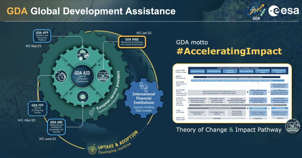
The recent workshop on “Towards a Roadmap for Greater Use and Adoption of Geodata for M&E” was nothing short of inspiring. Organised by the Netherlands Space Office (NSO) and Bopinc, participants to the event delved into the captivating world of geospatial data and its transformative potential for Monitoring and Evaluation (M&E) in projects focused on Food and Nutrition Security (FNS). Here’s a glimpse of what transpired during our afternoon inspiration session which was exclusively dedicated to ESA’s GDA.
In today’s digital age, rapid technological advancements are revolutionising the way we approach M&E practices. Geospatial data has emerged as a powerful tool, offering precision, cost-effectiveness, and non-intrusiveness in data collection. This workshop addressed the major opportunities and challenges associated with incorporating geodata into M&E efforts.
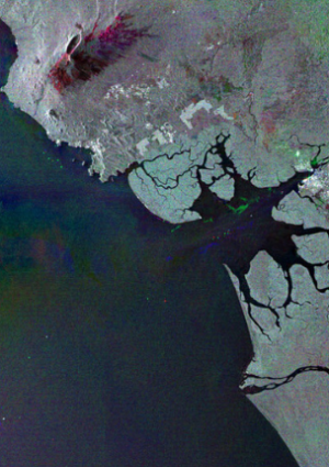
The remarkable developments in technology, such as high-resolution optical imagery and geostationary weather satellites, have opened new horizons for capturing detailed and up-to-date geodata. For Food and National Security projects, geospatial data is a game-changer, aiding in activity tracking, risk mitigation, and even measurement of M&E indicators.
In collaboration with ESA’s GDA, prominent organisations like the World Bank, the Asian Development Bank and the International Fund for Agricultural Development have embraced geospatial data to make informed decisions and measure impact effectively. This includes assessing income growth, crop productivity, climate patterns, and sustainable land management. Additionally, it facilitates change detection, identifying deforestation and infrastructure changes, and promises accurate livestock counting through advanced technologies like machine learning and computer vision.
Correspondingly, NSO’s commitment to advancing geospatial technology for global development extends beyond this workshop. NSO’s Geodata for Agriculture and Water (G4AW) programme plays a pivotal role in harnessing the potential of geospatial data for sustainable agricultural practices and water resource management in developing countries. For ESA’s GDA, it’s not only about building and capitalising on Dutch G4AW expertise; it’s about seamlessly integrating this invaluable knowledge into the broader GDA context. G4AW complements ESA’s GDA by focusing on the specific needs of agriculture and water-related projects, promoting access to vital geospatial information for decision-makers, and fostering innovation in these critical sectors. Together, the collaborative efforts of G4AW and ESA’s GDA represent a comprehensive approach to leveraging geospatial data’s transformative power for the betterment of communities worldwide.
As we look ahead, the roadmap for greater geospatial data adoption in M&E holds immense promise. The potential for targeted interventions, real-time monitoring, and improved decision-making is unparalleled. We eagerly anticipate further discussions and collaborations to harness this transformative power for a brighter future in FNS projects.
Embracing the dynamic synergy of ESA’s GDA isn’t just about participating; it’s about igniting a transformative spark that propels EO into the heart of M&E initiatives. By joining forces, organisations and countries can become trailblazers, pioneers of innovation in the sphere of subjects like FNS. Together, we have the power to not only unlock the vast potential of geospatial data but also drive real, impactful change.
Join ESA’s GDA and be the catalyst for a future where progress knows no bounds! Stay tuned for more updates and insights on geospatial data in M&E on gda.esa.int!
Main take aways:
- Geospatial data is transforming M&E with precision and cost-effectiveness.
- Structural and procedural advancements, concerning how data is being used, enhance data collection for development projects, such as FNS.
- Thanks to collaboration with ESA’s GDA, prominent organisations can use geospatial data to make better informed decisions and measure impacts more accurately.
- The roadmap for greater geospatial data adoption in M&E promises targeted interventions, real-time monitoring, and improved decision-making. Collaboration with ESA’s GDA is crucial for realising this transformative potential.


