In March 2022, IFAD’s Change, Delivery and Innovation Unit (CDI) published its Catalogue of Geospatial Tools and Applications for Climate Investments. This Catalogue was notably elaborated in partnership with the GDA team of ESA as well as key stakeholders from the Agriculture field such as FAO and World Food Programme.
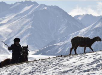
Climate change poses unprecedented challenges for humanity. Agriculture is one of the most affected sectors as heat waves, floods, droughts, storms, and other natural disasters affect millions of small producers around the world. For development organizations, it is vital to know how and where climate change is affecting smallholder farming in order to pursue effective interventions.
IFAD uses geospatial technology to help map, assess, and target its climate-related investments and thus relies on the geospatial data and expertise of other organizations to perform its analyses. The catalogue features the work of a number of these important partners, including the European Space Agency.
This catalogue follows the ShareFair ideas marketplace organized by IFAD for COP26, and features innovative geospatial tools, IFAD case studies, and partners work.